
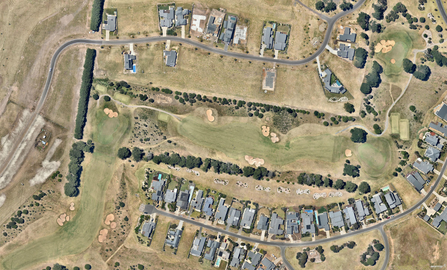
Short answer: a land surveyor in Torquay and the wider Surf Coast does the same core work as anywhere in Victoria: re-establishing title boundaries, preparing feature and level surveys for design and planning, setting out new buildings and preparing plans of subdivision. What makes coastal blocks different is the ground itself. Sloping sites, sandy soils, vegetation, coastal views and planning overlays mean accurate levels and a clear picture of the title boundary matter even more before you design, buy or build.
Torquay, Jan Juc, Anglesea, Aireys Inlet and Lorne sit within the Surf Coast Shire, and the region has seen plenty of new homes, extensions and subdivisions. Geelong Land Surveyors works across Geelong and the coast, so this guide explains which surveys Surf Coast owners usually need, what to check on a coastal block and how to get your project moving.
Which land surveys do Torquay and Surf Coast projects need?
The right survey depends on what you are planning. These are the ones we are most often asked about on the coast.
Feature and level survey
A feature and level survey records the shape of the land and everything on it: contours and spot levels, existing buildings, fences, trees, driveways, visible services and neighbouring features such as windows and roof heights. Architects, building designers and engineers use it as the base plan for a new home or extension. On a sloping Torquay or Jan Juc block, good level information helps the designer work out floor levels, cut and fill, retaining and driveway grades, and it is often needed for a planning application.
Re-establishment survey
A re-establishment survey locates the title boundaries on the ground and marks them out. It is the survey to get before you build close to a boundary, replace a fence or settle a question with a neighbour. In older coastal streets, fences and hedges do not always sit on the title line, so it pays to check before relying on them. Under the Surveying Act 2004 (Vic), only a licensed surveyor can define title boundaries.
Building set-out
Once your plans are approved, a building set-out marks where the new structure goes, so the builder starts in the right spot and the siting matches the approved drawings. This is especially useful where setbacks are tight or the design has been carefully placed to capture views or keep within height limits.
Subdivision surveys
If you are splitting a block or developing units, a licensed land surveyor prepares the plan of subdivision and works through certification and registration with council and Land Use Victoria. Our subdivisions service covers this from the first site survey through to new titles.
What makes coastal blocks different?
Every site is unique, but a few things come up again and again on Surf Coast and coastal Geelong properties.
Slope and levels
Many coastal blocks fall towards the water or sit on dunes and hillsides. Small differences in level can affect the height of a building, how much excavation is needed and whether retaining walls are required. A detailed level survey early in the design stage helps avoid surprises later. If retaining is likely near a boundary, our guide to retaining wall surveys explains how the survey supports that work.
Planning overlays
Planning schemes use overlays to manage particular features of land. Depending on the property, overlays that can apply in parts of the Surf Coast include the Bushfire Management Overlay, the Significant Landscape Overlay, the Erosion Management Overlay and the Land Subject to Inundation Overlay. Some of these can change what information council needs with a planning application, or affect where and how you can build. You can check the zones and overlays for a particular property with a free planning property report from the Victorian Government’s VicPlan tool, and talk to Surf Coast Shire Council or a town planner about what they mean for your project.
Vegetation and existing features
Coastal blocks often have established trees, scrub and native vegetation. Councils and designers may need these shown accurately on the survey plan, with tree positions and canopy spreads, so they can be considered in the design and any vegetation assessment.
Flood and coastal water levels
Low-lying land near rivers, creeks or the coast can be affected by flooding. Where a flood overlay applies or the authority asks for it, a survey tied to the Australian Height Datum (AHD) shows how your site’s levels compare with the relevant flood level. Our article on flood level surveys covers this in more detail.
Buying a coastal property? Check before you commit
Holiday homes and older beach houses are sometimes extended over many years, and sheds, decks and fences can end up close to or over the title boundary. If you are buying on the coast, especially with plans to renovate or rebuild, a survey can help you understand what you are getting. Our guide to pre-purchase surveys explains what to look for. Your conveyancer or lawyer can advise you on contract and title matters.
How the process works
- Get in touch: tell us the property address, what you are planning and who else is involved, such as an architect, builder or planner.
- Title and plan research: we search the title and the relevant survey plans so we know how the boundaries were originally defined.
- Fieldwork: our surveyors measure the site with modern GNSS and total station equipment and, where needed, connect to the official survey marks and AHD.
- Plans and marking: we prepare the survey plan in the format your designer or council needs, and mark boundaries or building positions on site where that is part of the job.
- Support through approval: we can help answer questions from council, your designer or your builder about the survey information.
Tips for Surf Coast owners
- Order the feature and level survey before design starts, so your designer works from accurate information.
- Check your planning property report early to see which overlays apply.
- Do not assume a fence or hedge marks the title boundary.
- Let your surveyor know about any planned retaining, pools or driveways on steep ground.
- Keep your survey plans, as they are useful for future works and when you sell.
We also work right across the region, including Geelong and the Bellarine. For projects on the other side of the Barwon, see our guide to finding a land surveyor in Ocean Grove, and if you are building in Geelong’s southern growth area, our guide for a land surveyor in Armstrong Creek. If your project is on the Surf Coast, request a quote online or call us on 0412 722 261 to talk it through.
Frequently asked questions
Do you work in Torquay and the Surf Coast?
Yes. Geelong Land Surveyors works across Geelong and the surrounding region, including Torquay, Jan Juc, Anglesea and the Surf Coast. Contact us with your property address and what you are planning for a quote.
What survey do I need to design a new home in Torquay?
Most designers start with a feature and level survey, which shows the land’s levels and existing features. If you are building close to a boundary, a re-establishment survey to confirm the title boundaries is often recommended as well.
How do I find out which planning overlays affect my property?
You can get a free planning property report for any Victorian address from the Victorian Government’s VicPlan tool. It lists the zones and overlays that apply. Surf Coast Shire Council or a town planner can explain what they mean for your project.
Is a land surveyor the same as a building surveyor?
No. A land surveyor measures the land, defines title boundaries and prepares survey and subdivision plans. A building surveyor assesses building permit applications and inspects building work. Most building projects involve both.